
June Park
Lead Aerial Cinematographer
Former broadcast camerawoman. June directs every filming mission and grades each frame before delivery.
About Cloudline Aerial
We are pilots, filmmakers, surveyors and storytellers. Since 2018 we have flown construction sites at dawn, weddings at golden hour, and thousands of acres of farmland — always with the same promise: safe flights, honest data, unforgettable images.
7+
Years of expertise
15k+
Flight hours logged
1.2k+
Missions completed
100%
FAA Part 107 certified
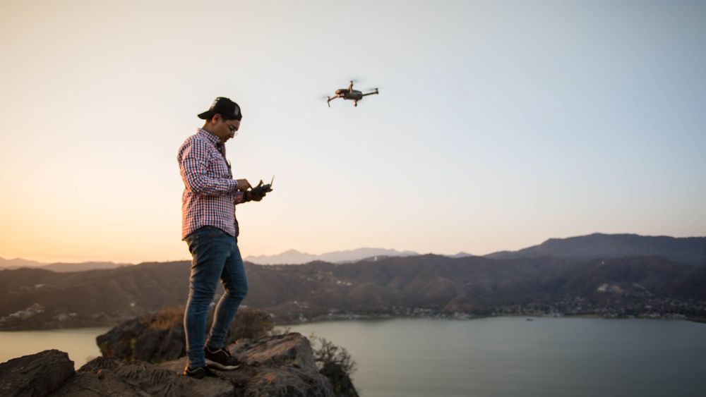
Cloudline Aerial started with one quadcopter and a simple observation: the best view of any project is the one nobody has seen yet. Today our pilots fly cinema-grade cameras, RTK mapping rigs and multispectral sensors for builders, growers, agents and event teams across the country.
Every mission is planned on the ground first — airspace checks, weather windows, shot lists and safety briefings — so the minutes in the air count. That discipline is why 8 out of 10 clients book us again.
See Our WorkThe crew
Lead Aerial Cinematographer
Former broadcast camerawoman. June directs every filming mission and grades each frame before delivery.

Mapping & Survey Pilot
Licensed surveyor turned pilot. Marcus runs our RTK mapping missions and certifies every deliverable.

Operations & Safety Lead
Dev clears airspace, reads weather like a meteorologist and keeps all 1,200+ missions incident-free.