Services / Agriculture Scan
Agriculture scan
See stress before your eyes can: multispectral crop-health maps and plant counts across every acre. Starting at $3,900
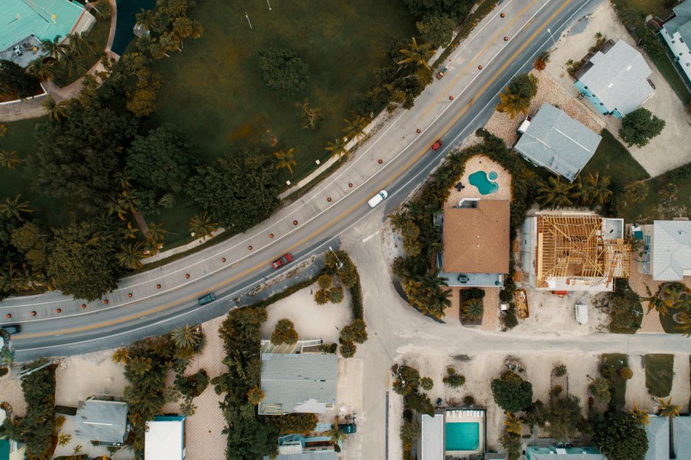
What an agriculture scan entails
Our multispectral aircraft read light your eyes cannot — NDVI, NDRE and thermal bands that reveal nutrient stress, pest pressure, emergence gaps and irrigation failures up to two weeks before they show in the field.
You get zoned prescription maps compatible with John Deere, Trimble and Climate FieldView, plus a plain-English agronomist summary: what we found, where it is, and what to do next.
What’s included
Crop-health zonation
NDVI/NDRE vigor maps split every field into management zones with acreage breakdowns.
Stand counts & gaps
AI plant counts and emergence-gap maps for replant decisions while the window is open.
Irrigation & drainage audit
Thermal and elevation analysis that finds clogged lines, ponding and pivot problems fast.
Agronomist action summary
A two-page brief in plain language — findings, zones, and recommended passes for your rig.
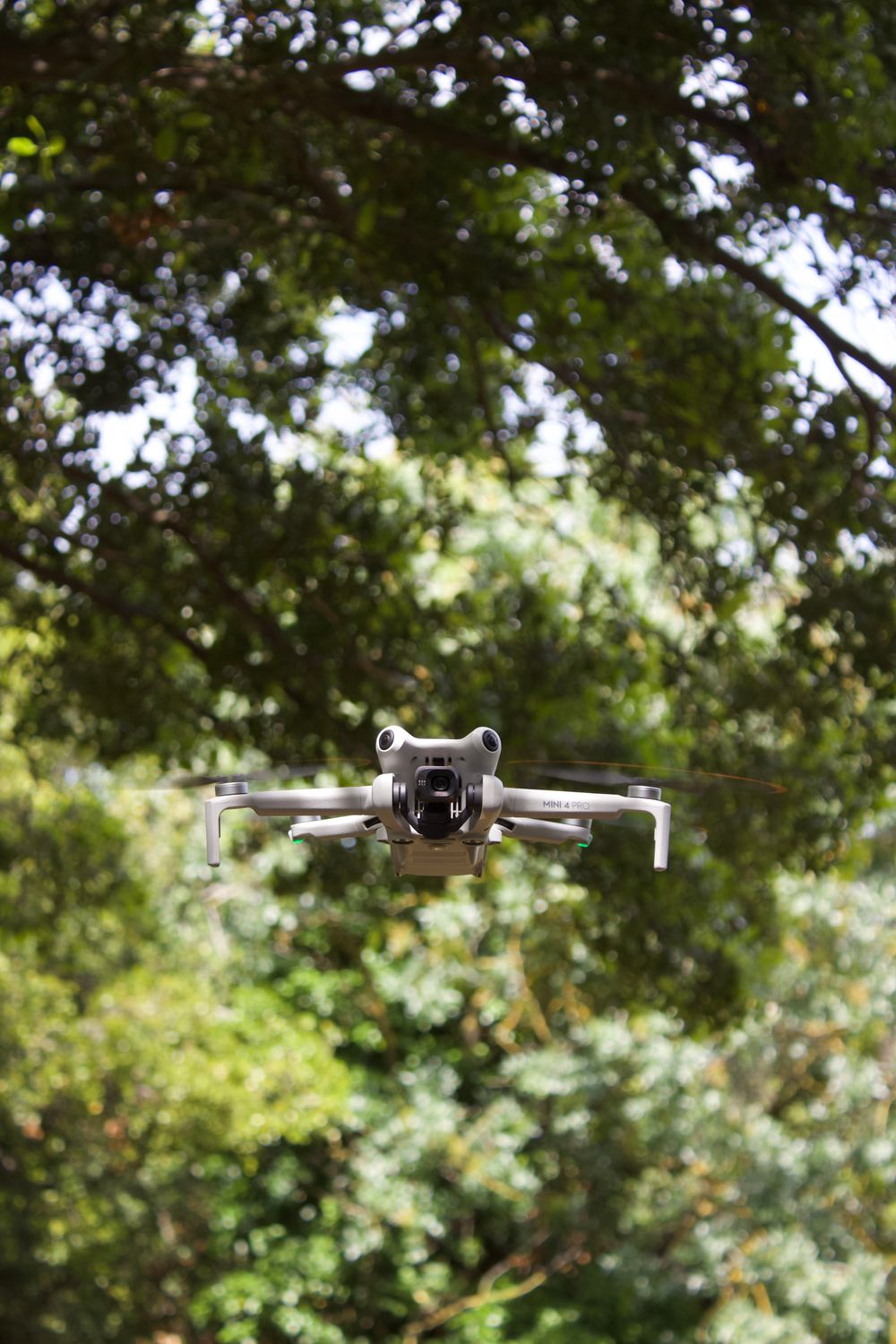

Farm questions, answered
When in the season should we fly?
Three windows pay best: emergence for stand counts, mid-season for vigor and variable-rate passes, and pre-harvest for dry-down and logistics. Season plans bundle all three at a discount.
Will the maps work with our equipment?
Yes. Prescription shapefiles export for Deere, Trimble, Raven and Ag Leader. Send us your platform once and every later map arrives ready to load.
How many acres can you cover?
A single crew maps 400–600 acres per day at 3 cm resolution. Larger operations run multi-crew for thousands of acres inside the same weather window.