Services / Mapping Services
Mapping services
Centimeter-accurate maps, models and measurements from the air — trusted by contractors, engineers and land managers. Starting at $4,500
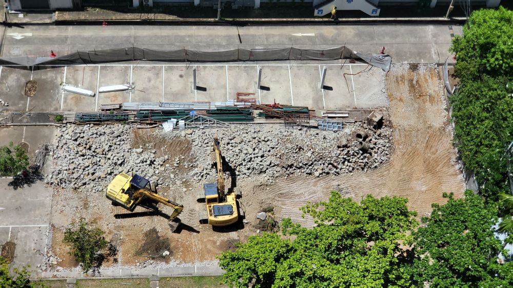
What mapping entails
Our RTK-equipped aircraft fly automated grid missions and turn thousands of overlapping photos into survey-grade deliverables: true-color orthomosaics, digital surface models, contour lines and stockpile volumes accurate to 2–3 centimeters.
A licensed surveyor reviews every dataset against ground control points before it reaches you, and files arrive in the formats your software already reads — GeoTIFF, LAS, DXF, SHP and PDF.
What’s included
Orthomosaics & 3D models
Distortion-free site maps and textured meshes you can measure, annotate and share with stakeholders.
Volumes & cut-fill
Stockpile quantities and earthwork balances for billing, planning and dispute-free pay apps.
Progress tracking flights
Weekly or monthly repeat missions from identical waypoints — perfect timeline proof of work.
Surveyor-certified reports
Accuracy statements, control summaries and PDF site reports signed by our survey partner.
Mapping questions, answered
How accurate are the maps?
With RTK positioning and surveyed ground control, horizontal accuracy is 2–3 cm and vertical 3–5 cm — suitable for quantities, planning and as-builts. We document checkpoints on every job.
Which file formats do we receive?
GeoTIFF orthomosaics, LAS point clouds, DXF contours, SHP vectors and a PDF summary. Tell us your stack — Civil 3D, ArcGIS, Trimble — and we match it.
How fast is turnaround?
Standard delivery is 3–5 business days. Single-site progress flights can be processed overnight when your pour schedule demands it.