Work / Sky Shots for Build Vision
Sky shots for Build Vision
Client: Build Vision Civil • Speed: 59 Km/H • Area: 10.5 Km² • Services: Mapping Services, Event Coverage
Overview
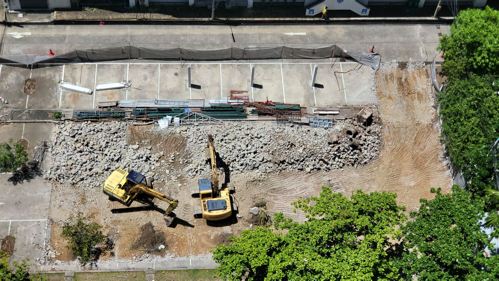
Build Vision is moving two million cubic yards of earth for a highway interchange — and reporting progress to a state agency every Friday. Our weekly flights over their 10.5 km² corridor produce the numbers for pay apps and the pictures for public meetings.
Volumes on Thursday, visuals on Friday: one flight program feeding engineering and communications alike.
Mission notes
- Airspace: rural corridor, standing COA
- Aircraft: RTK mapping quad, long-endurance wing
- Schedule: weekly flights, 10.5 km² corridor
- Delivery: volumes, PDF report, 60-sec reel
The challenge
Dust, vibration and a site that changes shape daily. Traditional survey crews needed three days to walk what our aircraft maps in ninety minutes — and public meetings needed visuals a spreadsheet could never deliver.
Approach & solution
We monumented control across the corridor once, then flew the same plan every Thursday morning. Automated processing turns imagery into certified volumes by evening, while our editor cuts the week’s most dramatic grade changes into a public-ready reel.

Deliverables & outcome
Certified volumetrics
Cut-fill numbers the agency accepts for monthly pay apps — no survey disputes since flights began.
Friday PDF reports
One-page annotated maps showing exactly what moved, ready for the status meeting.
Public progress reels
Sixty seconds of transformation that turned skeptical town halls into project fans.