Work / Flight Capture for Zenbuild
Flight capture for Zenbuild
Client: Zenbuild Development • Speed: 72 Km/H • Area: 9.8 Km² • Services: Mapping Services, Aerial Filming
Overview
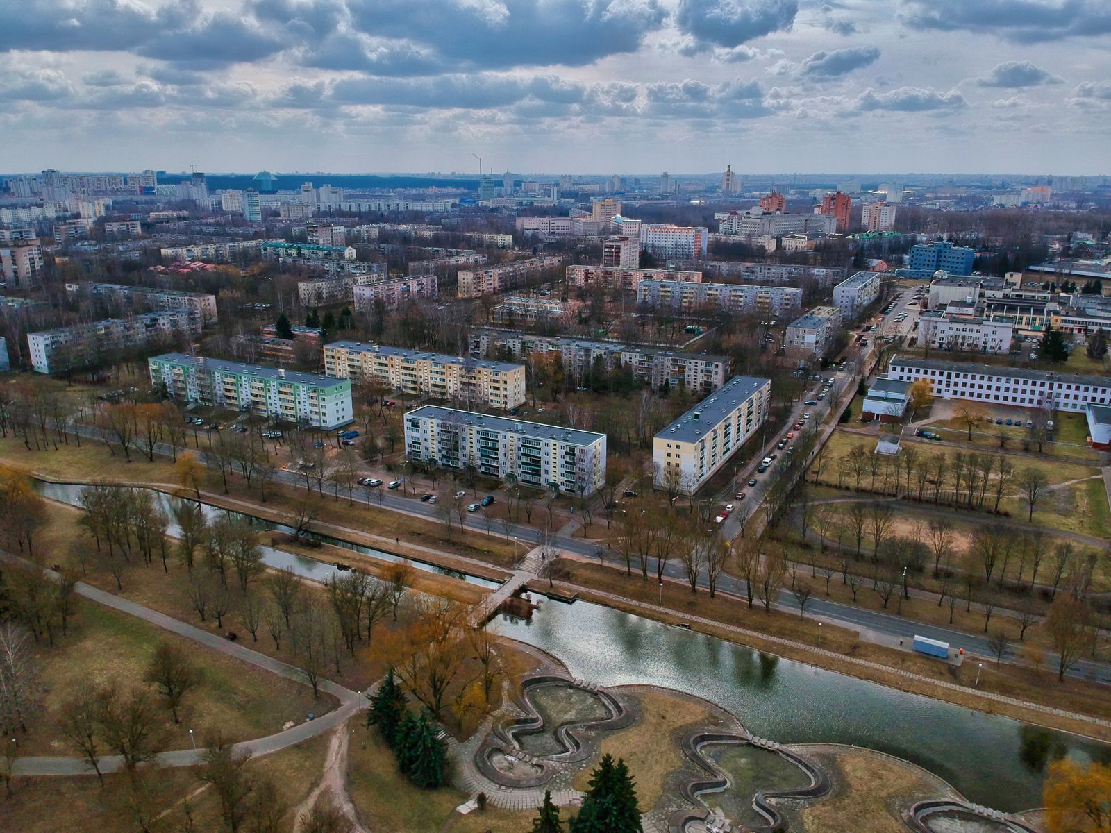
Zenbuild needed one aerial partner for two jobs: survey-grade progress data for their engineers and beautiful district footage for investors. We built a repeatable flight program over their 9.8 km² downtown site — identical waypoints, monthly cadence, dual deliverables from every flight.
Engineers measure from our orthomosaics; the sales gallery plays our films. Same sky, both audiences served.
Mission notes
- Airspace: Class D edge, per-flight LAANC
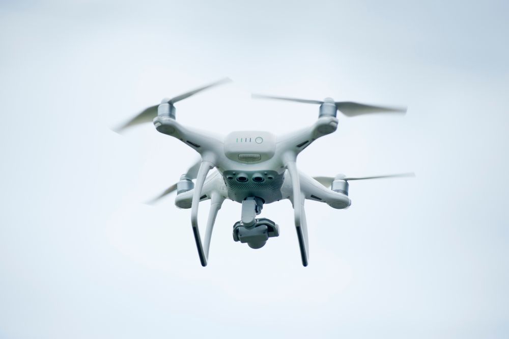
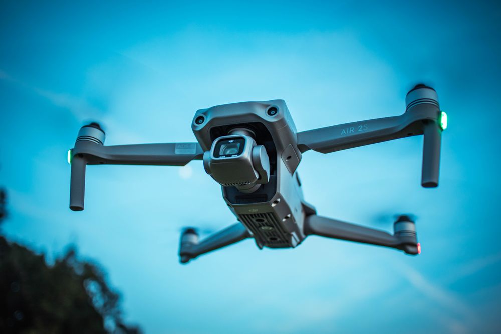
- Aircraft: RTK mapping quad + cinema quad
- Schedule: monthly missions, 9.8 km² per visit
- Delivery: orthomosaic, mesh, investor cut
The challenge
Active cranes, helicopter traffic nearby and zero tolerance for downtime. Survey flights demanded centimeter consistency while the marketing crew wanted golden light — two missions with opposite ideal conditions over one busy site.
Approach & solution
We split each visit in two: midday mapping grids under flat light for clean photogrammetry, then a dusk cinema window for the beauty pass. Crane operators joined our radio net, and ground control stayed permanently monumented for perfect month-to-month alignment.
Deliverables & outcome
Monthly orthomosaics
Aligned 2 cm site maps that let engineers verify quantities without setting foot on deck.
District investor film
A dusk-lit development story now playing in Zenbuild’s sales gallery and roadshows.
Timeline archive
Fourteen identical-waypoint flights forming an indisputable visual record of progress.