Journal / Technology
The future of precision drone technology
Oct 21, 2025 • By Ethan Cole • 6 min read
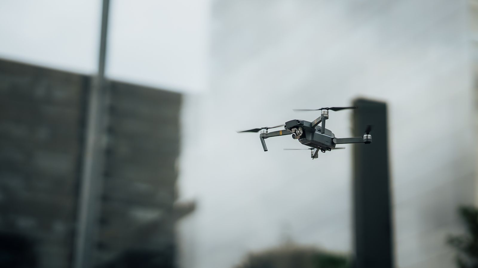
Five years ago, a drone map was a pretty picture with approximate scale. Today it is a survey instrument. The shift comes down to three technologies maturing at once: real-time kinematic positioning, lightweight lidar, and vision systems that hold a line in wind that would have grounded last decade’s aircraft.
RTK made centimeters routine
When the aircraft knows its position to within a centimeter — corrected live against a base station or network — every photo snaps into place. Ground control shrinks from dozens of points to a handful of checkpoints, and a two-person crew maps in a morning what once took a survey team a week.
Lidar sees through the canopy
Photogrammetry guesses surfaces; lidar measures them. Under trees, over stockpiles and across power corridors, laser returns punch through vegetation to true ground. For forestry, flood modeling and transmission work, that difference is the whole job.
“The question clients ask changed from ‘how accurate is a drone map?’ to ‘how fast can you get it certified?’ That tells you everything.”
What this means for your project
If you commission mapping today, ask for three things: the accuracy statement in writing, checkpoints independent of the processing, and deliverables in your software’s native format. Any crew flying current RTK hardware — like our mapping team — should hand all three over without blinking.

Ethan Cole
Mapping pilot, Cloudline Aerial. 4,000+ survey hours.