Shop / Cloudline Surveyor RTK
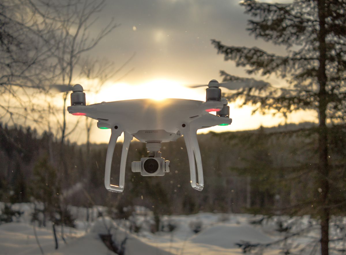
Survey-grade RTK mapping drone
Cloudline Surveyor RTK
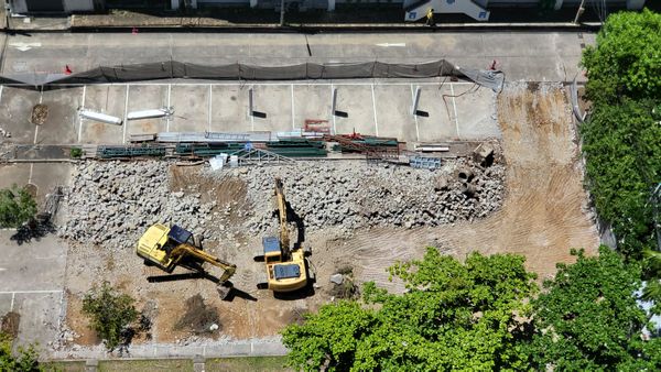
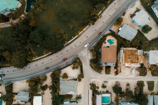
Survey-grade mapping drone with RTK positioning, mechanical shutter and 61MP camera for centimeter-accurate orthomosaics and 3D models.
- Camera: 61MP full-frame look, mechanical shutter, 3.2-micron pixels
- Accuracy: RTK + PPK, 2–3 cm with ground control
- Coverage: 400+ acres per flight at 3 cm GSD
- In the box: aircraft, RTK module, controller, 2 batteries, case