Data only matters when it changes a decision. After years of delivering maps, models and measurements, we keep seeing the same three calls get easier — and faster — the moment the numbers come from above.
1. How much moved?
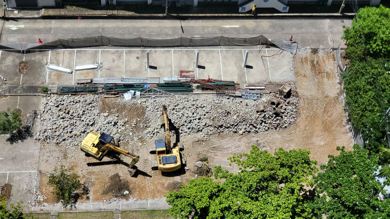
Stockpile and cut-fill volumes end the oldest argument in earthwork: the monthly pay app. Drone volumetrics settle quantities to single-digit percentages, documented with imagery both sides can open. Our Build Vision project runs on exactly this rhythm — volumes Thursday, agreement Friday.
2. Where is the crop stressed?
Multispectral vigor maps turn a 500-acre worry into three zones with three prescriptions. Growers stop treating whole fields uniformly and start spending inputs where the plants answer — the core of our agriculture scans.
“The best drone deliverable is a shorter meeting. If the map doesn’t end an argument, we flew the wrong thing.”
3. Are we on schedule?
Identical-waypoint progress flights create a timeline no report can dispute. Stakeholders see the truth in sixty seconds, and project managers spot slippage weeks before it shows in the paperwork.

Emma Sullivan
Data analyst, Cloudline Aerial.